Creating precise agricultural map of the national park, rivers, rain-forest and plain fields of District Santa Isabel, Panama
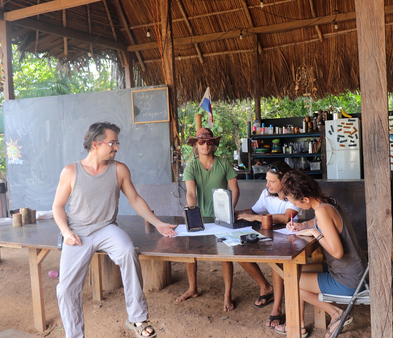
Project: GIS mapping with sub-meter accuracy and collected data processing into graphic agricultural map
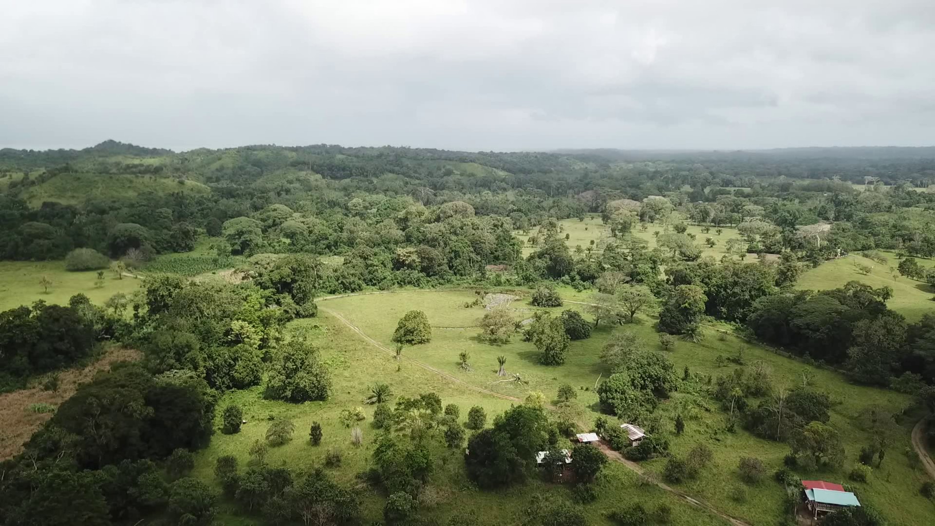
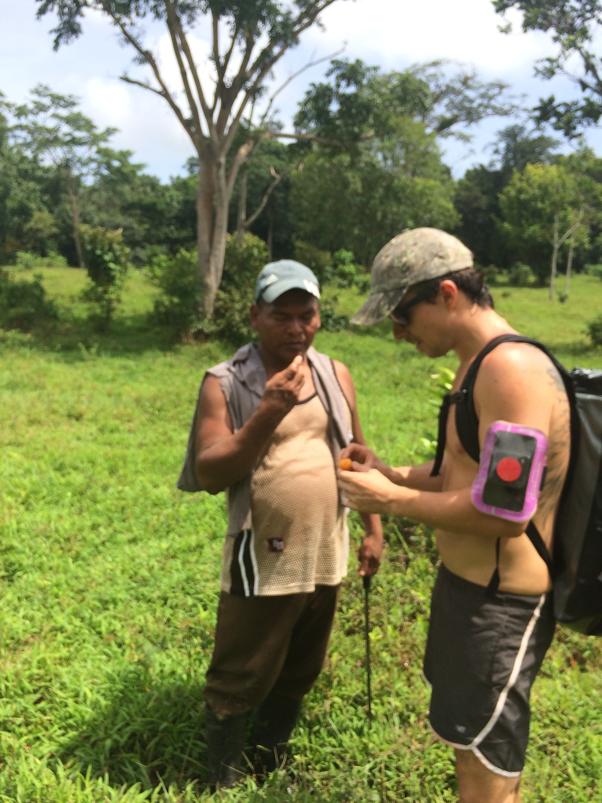
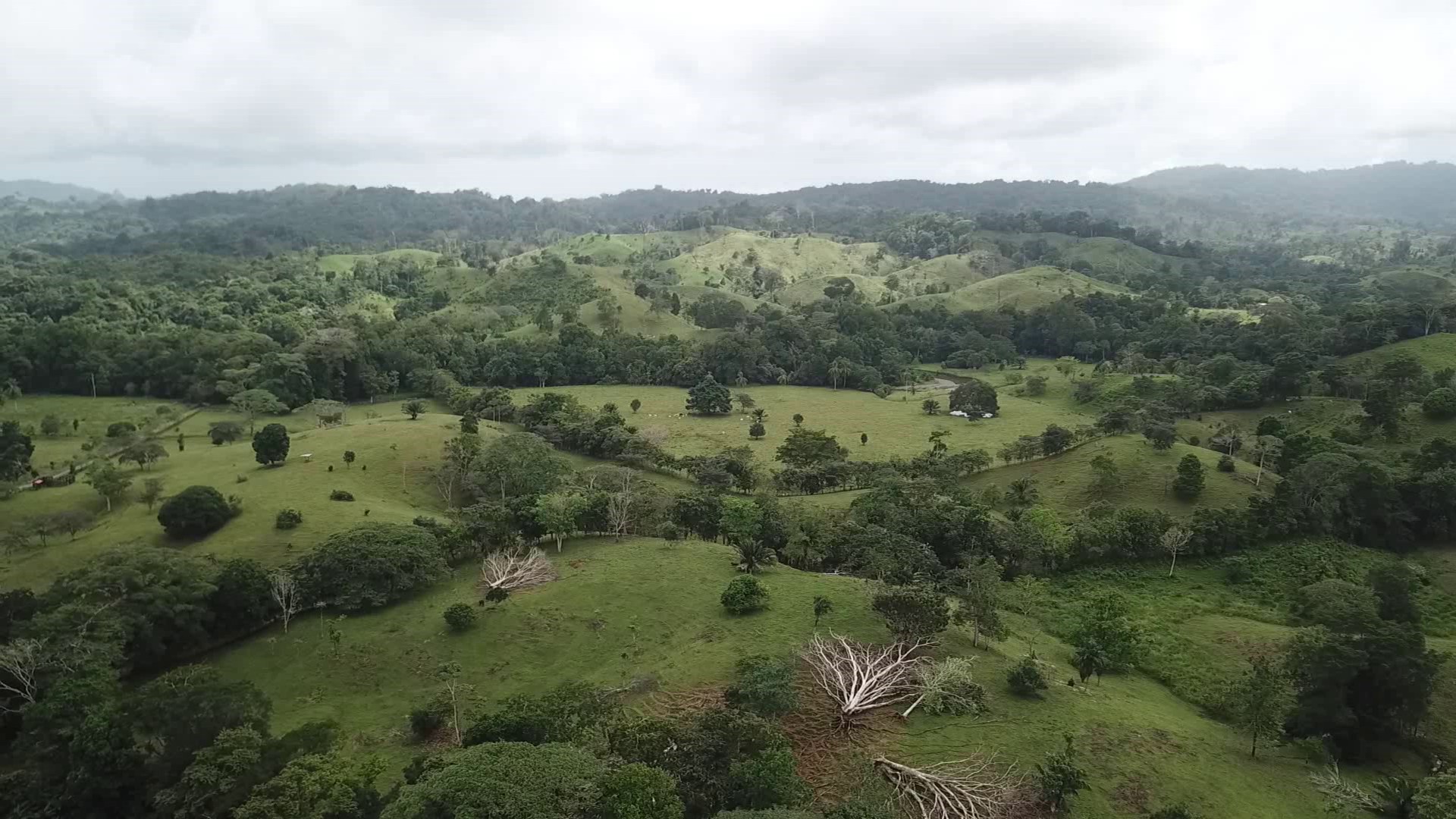
District Santa Isabel is located on the Caribbean coast of Province of Colon. Since last year, we have been working hand in hand with them in order to help them improve their living conditions while preserving their cultural identity as well as respecting the environment. They reach to us with proposal of helping them to provide more information about their land and surroundings to exploit more possibilities and reach agricultural potential of the area.
The GIS mapping project will be realized in four phases:
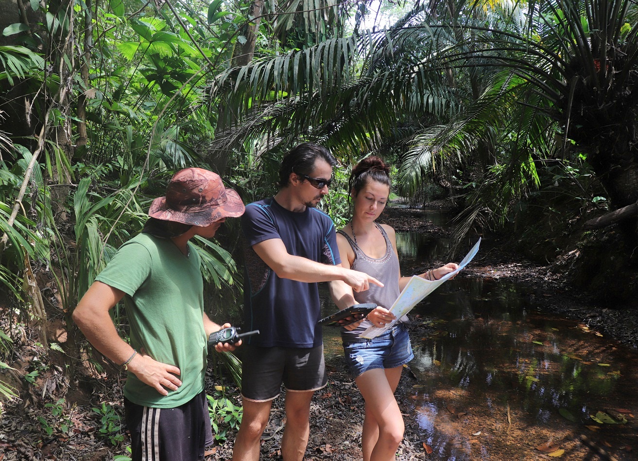
- Collection of GPS coordinates with Sub-meter precision using rugged field GPS equipment supporting GNSS technology and using advanced software for Geographic Information Systems (GIS) data collection. Creating GPS ground control points to orthorectify aerial drone photography.
- Download and process all collected data with GPS equipment and drone photography using different computer software.
- Preparation of graphic agricultural map with layers: Hydrological Map, Land Use, Contour and Soil Map
- Design simplified environmental classes to explain various application of the new GIS map for agricultural purposes.
Our main objectives of the project are to prepare the land use map, contour map showing the digital elevation model, ground water resource mapping that is the map showing the potential groundwater bearing zones within that particular area, and application of GIS in the integrated farm. The digitized map will cover the water bodies, cultivable lands, forest areas, soil characteristics, etc.
·